

Tuesday 23 to Friday 26 February are trade days (industry access). Public access: Friday 26 February night show, and Saturday 27 – Sunday 28 February.
Printed from https://airshowguide.com/airshows/australian-international-airshow-avalon/2027/ on 16 November 2026 – check the page again before you travel.
Overview
- Dates: confirmed
- Teams: not announced in our data
- Gates and flying times: not in our verified data yet
- Entry rules: not in our verified data yet
Reported by the media: our news stories below sum up what local media and the visitor bureau published (gates, times, allowed items), with their links. These reports are not yet confirmed in our verified data – check the organizer’s site before you go.
Display teams
Flying display participants for 2027 not announced yet.
- Organizer
- Australian International Airshow
Plan your visit
- Your show plan – your day, hotels near the show and what to bring.
- Trip budget – tickets, parking, travel, room and food from your own numbers.
- When to leave – work back from the gate time.
Worth bringing
- Hearing protection Fast jets are very loud, especially for children. Ear defenders or foam plugs make the day much nicer.
- Sun protection Airfields have little shade: hat, sunglasses and sunscreen, even on cloudy days.
- Folding chair or blanket You may stand or sit for hours. Check the show rules first – some sites limit chairs near the crowd line.
The show’s own rules come first: check the organizer’s list of allowed items. Full list: what to bring to an airshow.
Programme & Entry
Programme details not yet verified. Show days: Friday 26 February, Saturday 27 February, Sunday 28 February. Gate and flying times are not in our verified data yet – see the media report on the Overview tab.
Entry and rules
- Accessibility
- Not in our verified data yet
- Admission
- Not in our verified data yet
- Bags and items
- Not in our verified data yet
- Parking
- Not in our verified data yet
Getting There
Avalon Airport (-38.0394, 144.4694). Entrances, parking and shuttles change every year – use the organizer’s travel page when it is published. Location: Source: Wikidata (CC0), checked 1 Nov 2026
The map is loaded from OpenStreetMap only when you press “Show map”.
Traffic on show days. Big shows close roads and fill car parks hours before the flying starts. The “By car” and “Waze” buttons open live traffic, delays and alternative routes for your own trip.
- Live Traffic NSW – official road and closure information
Road closures and shuttle routes for the show itself come from the organizer; we add them here when they are published.
On the day: where I parked
At the car park, press the button: your phone remembers the spot, and on the way out it shows you the walk back. Nothing is sent to us.
Packing list with ticks for this show: your show plan.
Stay & Nearby
Where to stay
Rooms near Avalon Airport – hotels, motels, B&Bs and apartments on Booking.com – book up early on show weekends. Search for the show nights – from 26 Feb to 1 Mar 2027 – closest first.
Hotels, motels and B&Bs near the show
Prices and availability are Booking.com’s, not ours. Change the dates there if you arrive the night before. We may earn a commission if you book through this link; it does not change your price.
Coming from far away?
- AVVMelbourne Avalon International Airportat the show site
- MEBMelbourne Essendon Airportabout 1 h by car, 40 mi / 65 km · Route in Google Maps
- MELMelbourne Airportabout 1 h by car, 40 mi / 65 km · Route in Google Maps
All four open on Booking.com. Driving estimates without traffic or show-day queues, calculated with OSRM on OpenStreetMap data (© OpenStreetMap contributors); airports with airline service from OurAirports. Routes and seasons change: check flights with the airport or airline.
Booking.com links are affiliate links: we may earn a commission at no extra cost to you.
Things to do nearby
Museums and sights
- Lara Heritage and History MuseumMuseum · 6.6 kmDirections
- National Wool MuseumMuseum · 15.1 kmDirections
- Museum of Play and ArtMuseum · 16.0 kmDirections
- Geelong Sports MuseumMuseum · 16.5 kmDirections
- Old Court House MuseumMuseum · 17.4 kmDirections
- B-24 Liberator MuseumMuseum · 21.3 kmDirections
- BunjilAttraction · 10.2 kmDirections
- Big RockAttraction · 10.6 kmDirections
Places to eat near the show
- 3 CafeCafe · 1.5 kmDirections
Places from © OpenStreetMap contributors (ODbL), straight-line distance from the show site. Opening hours change – check before you go.
16 aviation museums in Australia – on a map, with the nearest airshows.
Weather & Tips
Weather
Forecast for the show area: Bureau of Meteorology forecast. Check again the day before the show.
Typical weather in February
- 25°Cafternoon high
- 14°Cnight low
- 42 mmrain in the month
Long-term averages for the show area, not a forecast: NASA POWER climatology (January 2001 – December 2025), approximate. Pack for warmer and colder days than the average.
Sun on show days
| Day | Sunrise | Sunset | Sun in the afternoon |
|---|---|---|---|
| Fri 26 Feb | 7:02 | 20:07 | 12:00 north-east · 14:00 north · 16:00 north-west |
| Sat 27 Feb | 7:03 | 20:06 | 12:00 north-east · 14:00 north · 16:00 north-west |
| Sun 28 Feb | 7:04 | 20:04 | 12:00 north-east · 14:00 north · 16:00 north-west |
At 2 pm the sun is in the north – a spot with the sun behind you is easier on the eyes and better for photos. Local time (Australia/Melbourne), calculated for the show site.
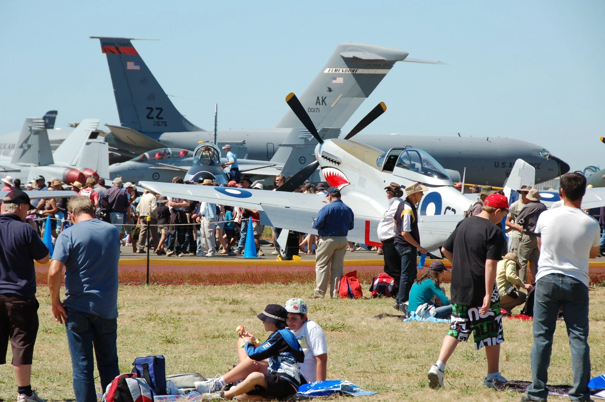
Photos from earlier editions (6)
What this show looked like in past years – free-licence photos, author and licence under each one.
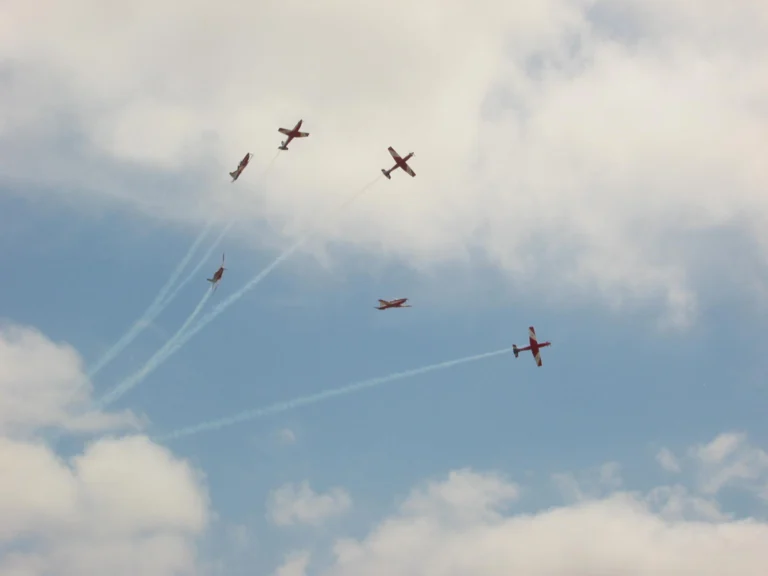
Photo: Ross Hill from Melbourne, Australia, CC BY 2.0, Wikimedia Commons 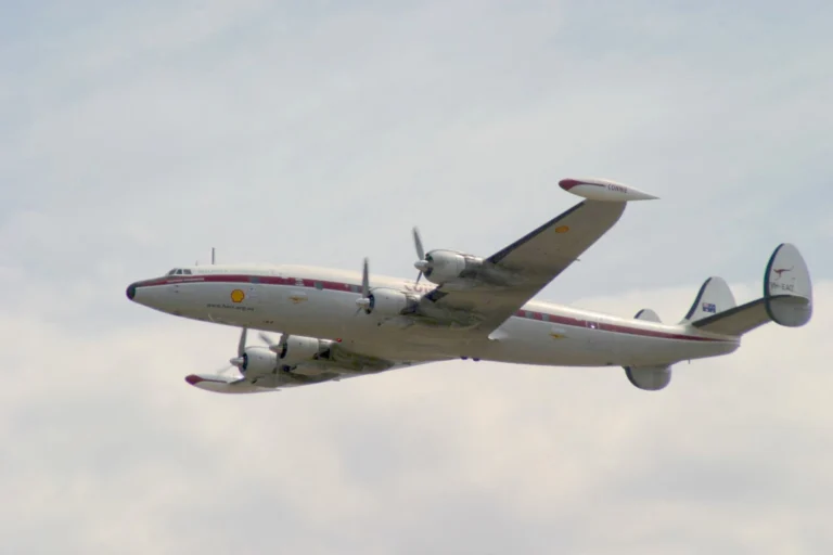
Photo: Scott Sandars from Melbourne, Australia, CC BY-SA 2.0, Wikimedia Commons 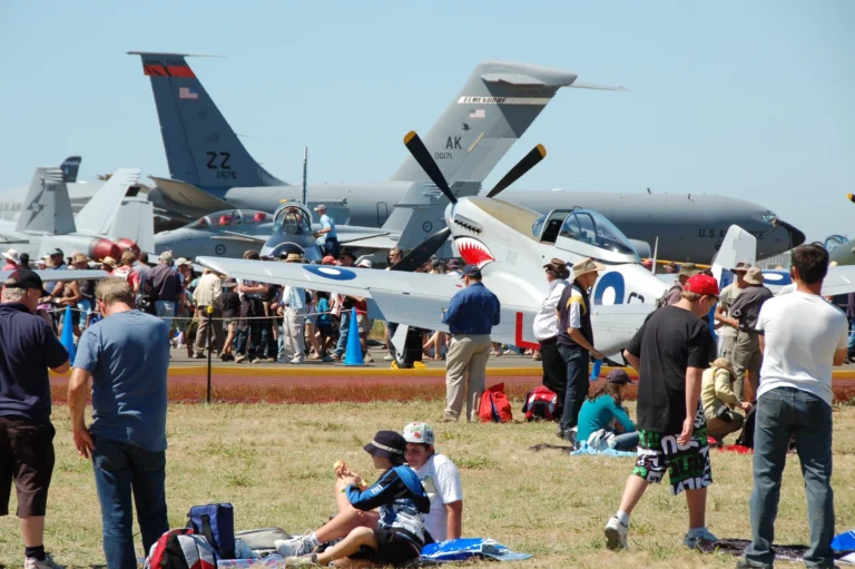
Photo: Chris Phutully from Australia, CC BY 2.0, Wikimedia Commons 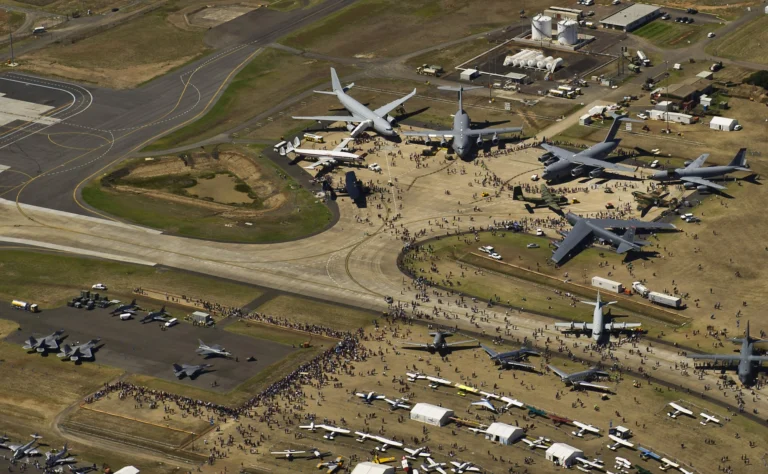
Photo: U.S. Pacific Air Forces, CC BY 2.0, Wikimedia Commons 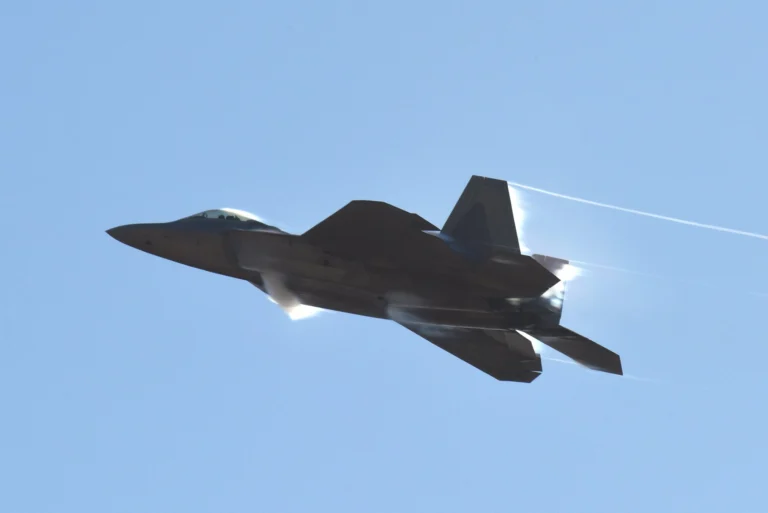
Photo: Master Sgt. John Gordinier, Public domain, Wikimedia Commons 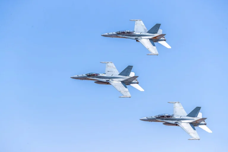
Photo: John Torcasio, CC BY-SA 4.0, Wikimedia Commons
Sources
Event dates and teams are checked against official schedules; each fact names its source and the day we checked it. The location comes from Wikidata, nearby places from OpenStreetMap, and travel times are our own estimates – labelled where they are shown. Found something out of date? Tell us and we will check it again.